The Sea Chart: The Illustrated History of Nautical Maps and Navigational Charts
The Illustrated History Of Nautical Maps And Navigational Charts
- Editore:
U S NAVAL INST PR
- EAN:
9781591147824
- ISBN:
1591147824
- Pagine:
- 160
- Formato:
- Paperback
- Lingua:
- Inglese
Acquistabile con
o la
Descrizione The Sea Chart: The Illustrated History of Nautical Maps and Navigational Charts
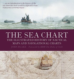
The sea chart was one of the key tools by which ships of trade, transport and conquest navigated their course across the oceans. John Blake looks at the history and development of the chart and the related nautical map, in both scientific and aesthetic terms, as a means of safe and accurate seaborne navigation. This handsome work contains 150 color illustrations including the earliest charts of the Mediterranean made by early thirteenth-century Italian merchant adventurers, as well as eighteenth-century charts that became strategic naval and commercial requirements and led to Cook's voyages in the Pacific, the search for the Northwest Passage, and races to the Arctic and Antarctic.
Fuori catalogo - Non ordinabile
Recensioni degli utenti
e condividi la tua opinione con gli altri utenti
